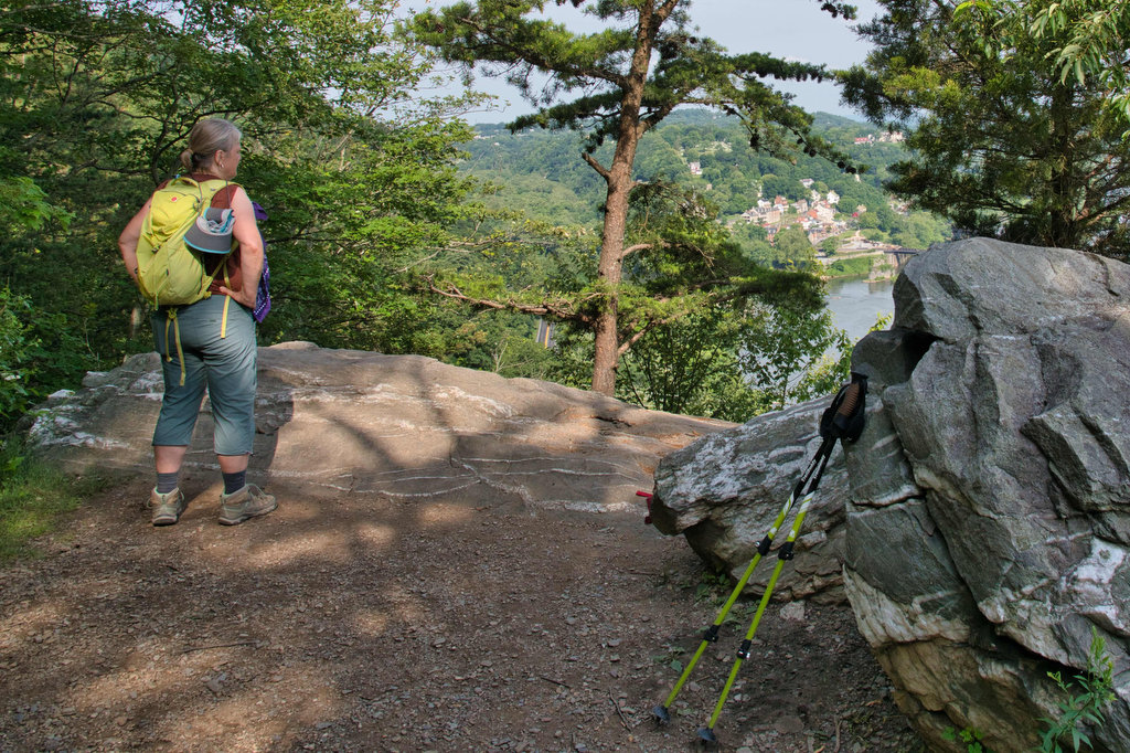
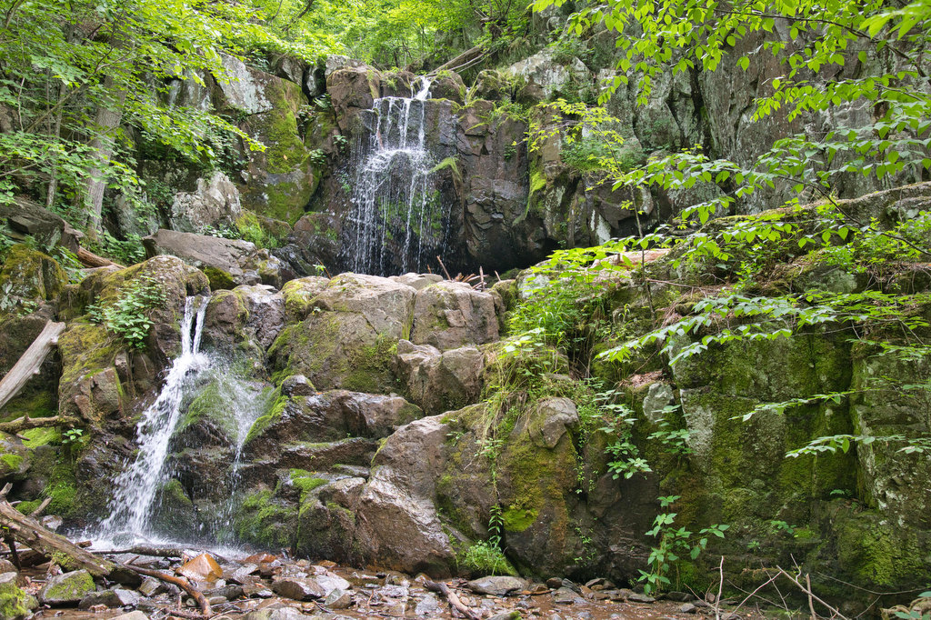
Distance

Mount Pleasant Loop

Highlights: Great views, rocky summit, stream crossings, wildflowers, wildlife Distance: 6.0 mile loop Elevation change: 1,270 feet Difficulty level: Strenuous Trailhead Parking: Wiggins Springs Road, route 755, becomes Hog Camp Gap Road (Fire Road 48). Continue past the first parking area at Hog Camp Gap for .25 miles. Bear right park near the trailhead kiosk, […]

Mount Pleasant Loop Read More »

Cole Mountain Loop

Highlights: Appalachian Trail, bald summit, great views, wildflowers, wildlife Distance: 6.1 mile loop Elevation change: 1,200 feet Difficulty level: Strenuous Trailhead Parking: Wiggins Springs Road (route 755) becomes Hog Camp Gap Road (Fire Road 48), parking at the AT crossing at Hog Camp Gap. For additional parking, continue past Hog Camp Gap for .25 miles

Cole Mountain Loop Read More »

Maryland Heights

Highlights: Appalachian Trail, Harpers Ferry historic district, great views Distance: 4.5 miles out and back Elevation change: 1,350 feet Difficulty level: Moderate/strenuous Trailhead Parking: Lower Town Information Center, Harpers Ferry WV, park fee required Website: Harpers Ferry National Historical Park Beer Pairings: Smoketown Brewing—My Best Girl DIPA & Angler’s Mid Atlantic Steam IPA The Hike:

Maryland Heights Read More »

Loudon Heights

Highlights: Appalachian Trail, historic district, great views, wildflowers, wildlife Distance: 7.8 miles out and back Elevation change: 2,278 feet Difficulty level: Strenuous Trailhead Parking: Lower Town Information Center, Harpers Ferry WV, park fee required Website: Harpers Ferry National Historical Park Beer Pairings: Harpers Ferry Brewing—Shenandoah Stout & Needles IPA The Hike: This hike begins with

Loudon Heights Read More »

Billy Goat/C&O Canal Towpath Loop

Highlights: Waterfalls, rock scrambles, river views Distance: 4.9 mile loop Elevation change: 205 feet Difficulty level: Moderate/Technical Trailhead Parking: Great Falls Tavern Visitor Center, Potomac MD, park fee required Website: C&O Canal National Historical Park Beer Pairings: Old Angler’s Inn—Sam Adams Boston Lager The Hike: The Virginia side of Great Falls has slightly better views,

Billy Goat/C&O Canal Towpath Loop Read More »

Great Falls Virginia Loop

Highlights: Waterfalls, wildflowers, rock formations, wildlife, views Distance: 4.7 mile loop Elevation change: 383 feet Difficulty level: Moderate Trailhead Parking: Great Falls Park Visitor Center, Dominion Drive, Great Falls VA; park fee required Website: Great Falls Park Beer Pairings: Lake Anne Brew House—Reston Red Ale & Live-Work-Play IPA The Hike: The Great Falls of the

Great Falls Virginia Loop Read More »

Riprap/Wildcat Ridge Loop

Highlights: Waterfalls, wildflowers, stream crossings, Appalachian Trail, rock formations, wildlife, views, swimming hole Distance: 9.8 mile loop Elevation change: 2,365 feet Difficulty level: Strenuous Trailhead Parking: Riprap parking area, Skyline Drive mile 90, park fee required Website: Shenandoah National Park Beer Pairings: Basic City Brewing—Our Daily Pils & Tropicos #008 IPA The Hike: This hike

Riprap/Wildcat Ridge Loop Read More »

Brown’s Gap Falls Loop

Highlights: Waterfalls, wildflowers, stream crossings, Appalachian Trail Distance: 6.7 mile loop Elevation change: 1,370 feet Difficulty level: Moderate/Strenuous Trailhead Parking: Brown’s Gap parking area, Skyline Drive mile 83, park entrance fee required Website: Shenandoah National Park  Beer Pairings: Loft Mountain Wayside—White Oak Witbier & Limberlost Lager The Hike: This hike take you to three waterfalls

Brown’s Gap Falls Loop Read More »

Sintra Palace and Castle Loop

Highlights: views, Pena Palace, Villa Sassetti, and Moorish castle Distance: 2.6 mile loop Elevation change: 1,025’ Difficulty level: Moderate Trailhead Parking: Sintra Portugal, Estrada de Pena near the Moorish Fountain Website: Sintra Parks Beer Pairings: Lord Byron Pub—Super Bock & Sagres The Hike: For our European friends (and others lucky enough to visit Portugal) this

Sintra Palace and Castle Loop Read More »

Sky Meadows Loop

Highlights: views, meadows, historic area, Appalachian Trail Distance: 7.3 mile loop Elevation change: 1,254 Difficulty level: Moderate/Strenuous Trailhead Parking: Visitor center parking area on state route 710, entrance fee required Website: Sky Meadows State Park Beer Pairings: Old Bust Head Brewing—Graffiti House IPA & Bust Head English-style Ale The Hike: Sky Meadows State Park has

Sky Meadows Loop Read More »